 CYCLIX
Day two
Liberec to Dresden: The Climb Comes First
The briefing for day two went like this. 171 km, 2,350 m of climbing, river valleys all morning, and then everything goes up in the last third. Yesterday was 1,300 m. Today is nearly twice that. Two long climbs, both of them properly hard, waiting for you after the Elbe.
That was the plan. The plan was wrong by about nine kilometres.
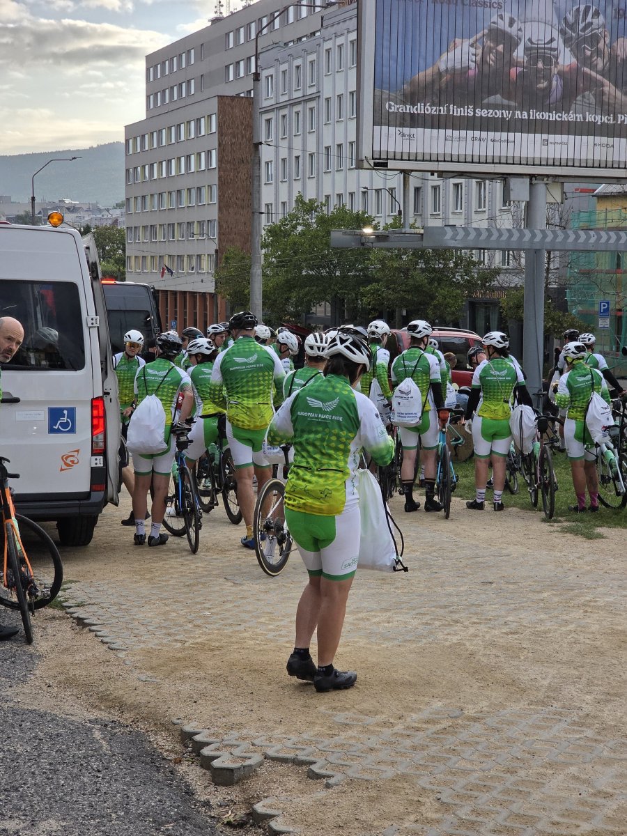
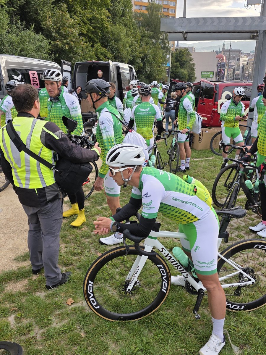
Nobody mentioned Kryštofovo Údolí
We rolled out of Liberec at eight, in grey light and 11 degrees, and the road started climbing before anyone had finished their first bottle. Not a drag. A proper climb: 9.2 km, 392 m of ascent, 4.3 per cent average, straight up the flank of the Ještěd ridge. Average speed on it was 14.5 km/h and my heart rate sat at 160 for the best part of forty minutes. Two kilometres in, the day’s plan quietly rearranged itself.
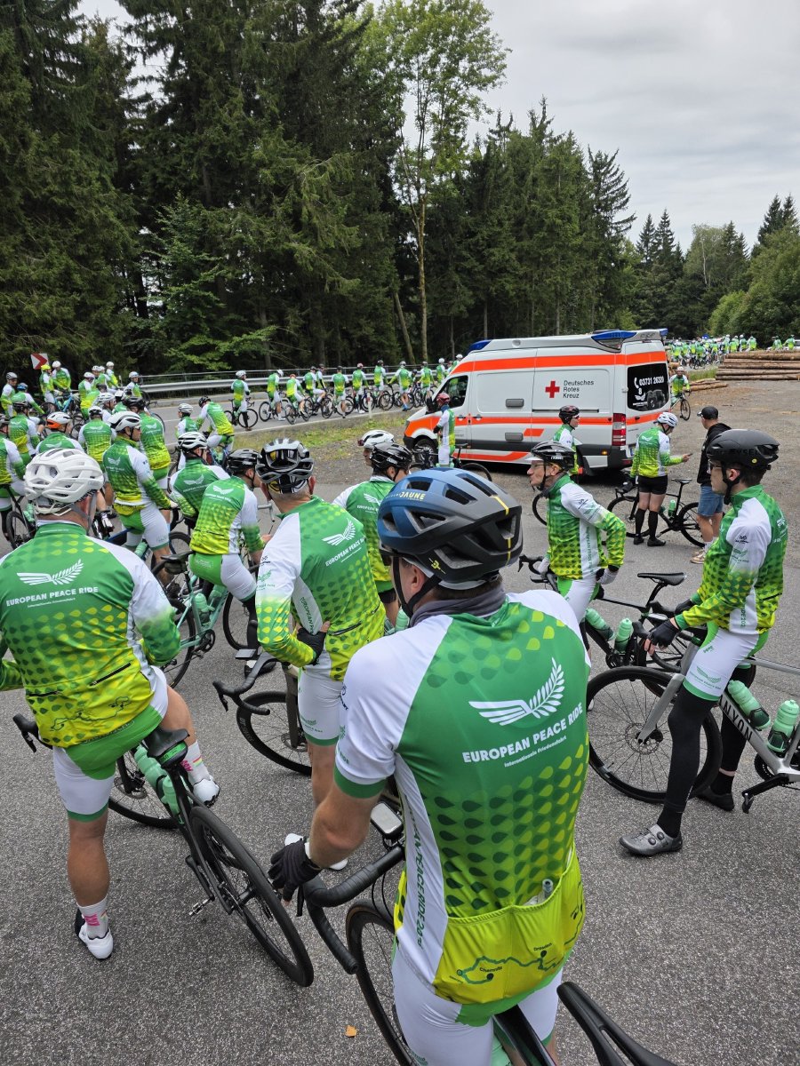
The top is at 767 m near Kryštofovo Údolí, which is the highest point of the entire three days, reached before nine in the morning. We stopped there to let everyone regroup, and the ambulance pulled up with us, which is where you notice it: the support convoy climbs at exactly the speed of the slowest rider, every single time.
Up on the left was Ještěd itself, the tower we had been looking at from the square the night before. A thousand metres up, hotel and transmitter in one. That was the last we saw of Liberec.
Then the rivers
What followed was the fastest hour of the weekend. 35 km in sixty minutes, averaging 35 km/h down the Ploučnice through Stráž pod Ralskem and Česká Lípa, a closed road and a full peloton and nothing to do but sit in and hold a wheel.
Stráž pod Ralskem is worth a sentence, because from the saddle it is just a quiet town. For decades it was the centre of Czechoslovakia’s uranium industry. They pumped acid into the ground to dissolve the ore and then pumped it back out again, and it contaminated something in the order of 266 million cubic metres of groundwater. The clean-up started in 1996 and is still going.
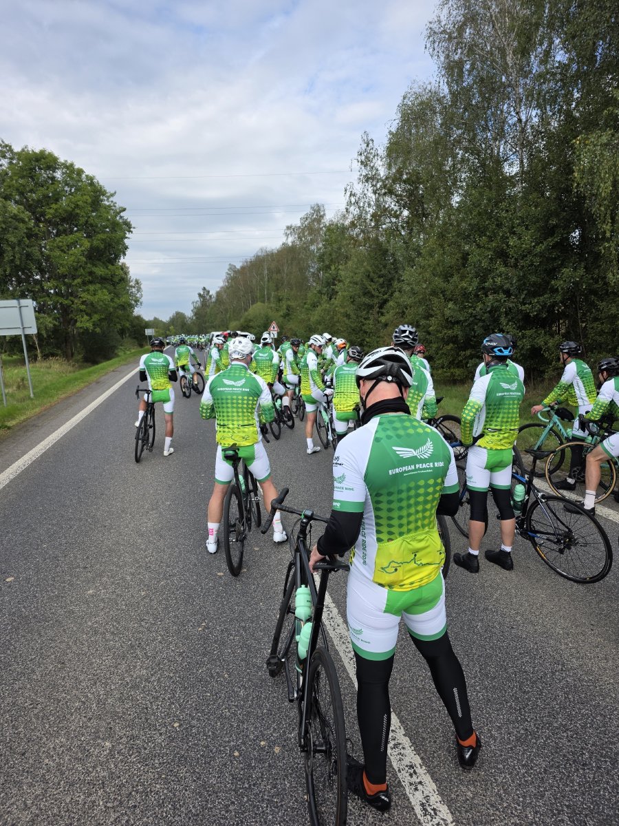
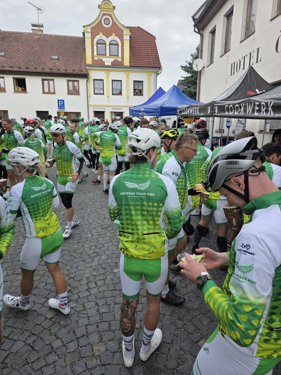
We stopped at Žandov for half an hour, then carried on down the valley to Děčín, where the Elbe sits at 126 m. That is the low point of the day and of the whole three days. Everything after it goes up.
The border and the Ore Mountains
The second big climb starts at the river and does not stop for 15 km: 443 m of ascent up to 581 m at Sněžník, and somewhere in the middle of it we crossed back into Germany. The ride paused just long enough to swap the police escort over. Nothing else marked the border at all.
Then the Ore Mountains gave us a staircase. Four separate climbs between km 112 and km 138, none of them long, all of them steep enough to hurt after 120 km: 68 m, then 131 m at 4.9 per cent, then another 68 m, then 107 m at 6.1 per cent with the group crawling at 10 km/h. By the time it levelled out we were at 550 m above Börnchen, the temperature had climbed from 11 degrees to 21, and the legs had stopped negotiating.
Glashütte
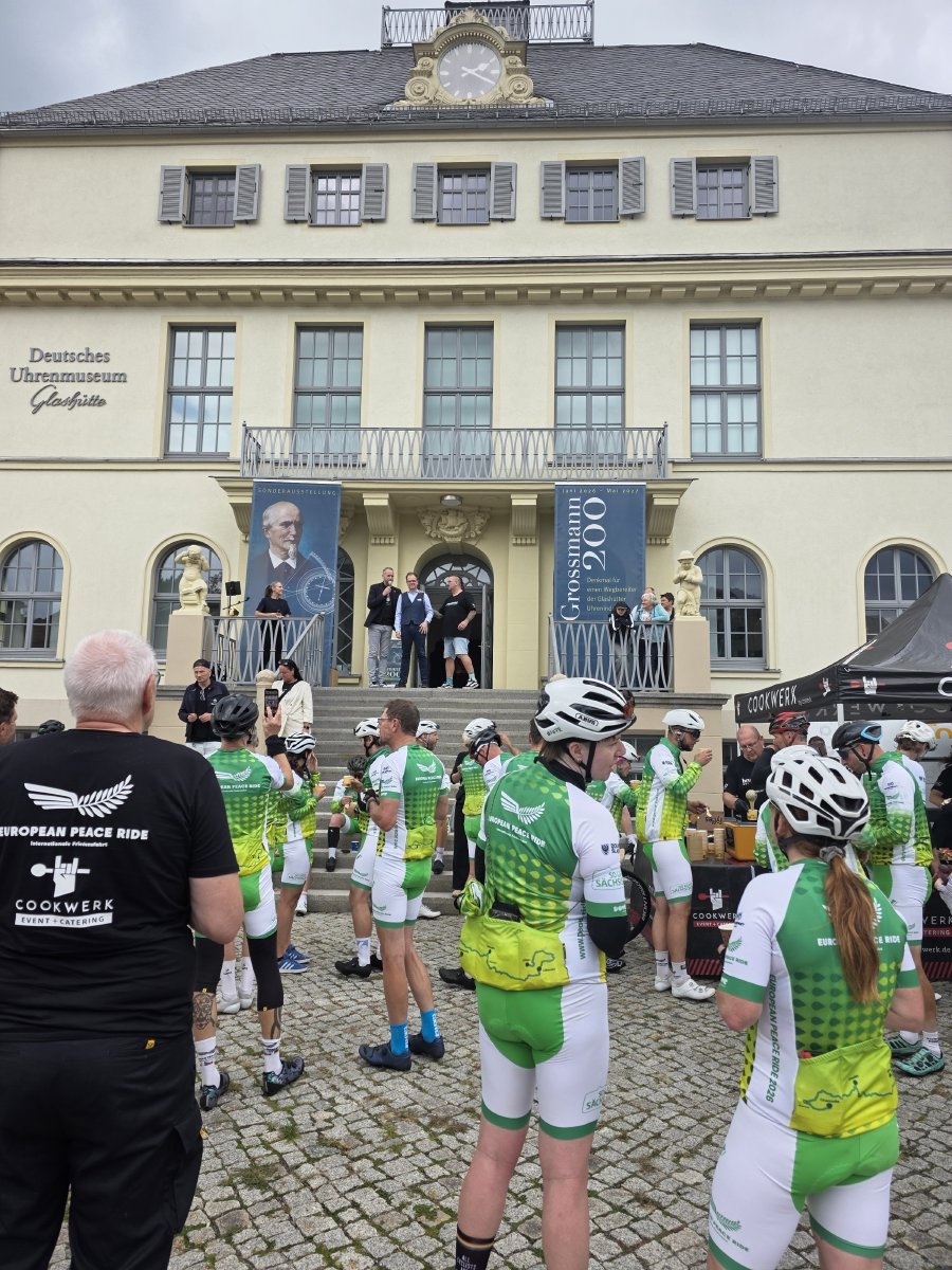
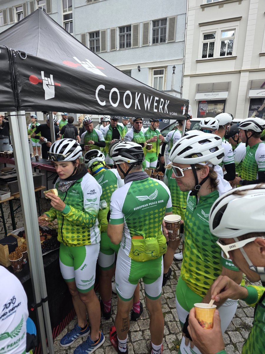
We stopped at Glashütte for the best part of an hour, which from the road looks like nothing much: a small town in a fold of hills south of Dresden. It is where German watchmaking started. In 1845 a man called Ferdinand Adolph Lange arrived with a government loan and taught fifteen farmers and straw weavers how to make watch parts. The German Watch Museum is on the square, and we ate in front of it.
Into Dresden
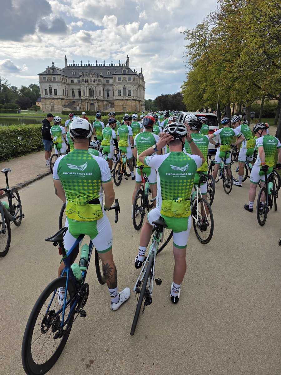
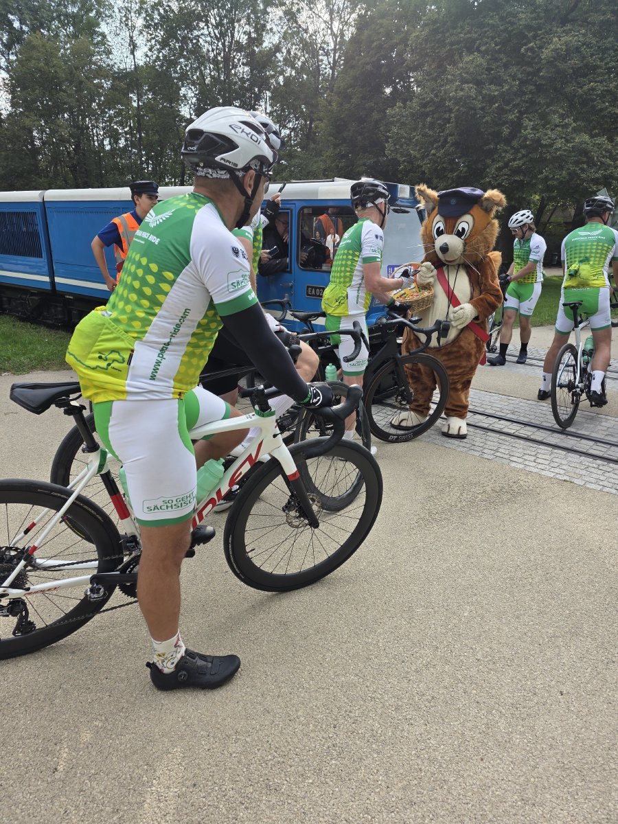
The last 30 km are downhill in the way that matters, dropping 400 m off the Ore Mountains and into the Elbe basin. We came into Dresden through the Großer Garten, past the baroque palace, and were met on the park railway crossing by two of the Parkeisenbahn’s miniature trains and a person in a bear costume. The stage finish was in the park.
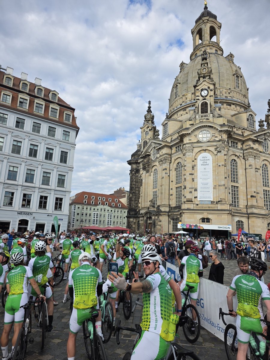
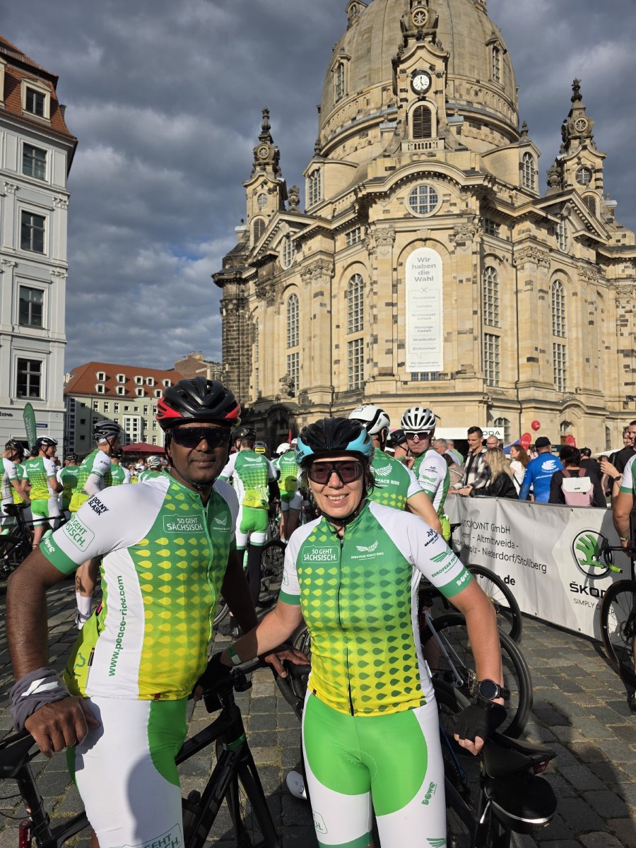
Then the whole peloton rolled on into the old town and ended up on the Neumarkt in front of the Frauenkirche, which is a reasonable place to stop a bike. 171 km, 2,350 m, eight and a half hours door to door, and the hardest climb of it done before most people had properly woken up.
Want to ride it? The track, a GPX built for head units and the original FIT are on the route page for Stage 2.
The numbers
| Distance | 171.3 km |
| Elevation | 2,354 m |
| Rolling time | 6h 43m |
| Elapsed | 8h 40m, 08:02 to 16:42 |
| Average speed | 25.5 km/h |
| High point | 767 m, Kryštofovo Údolí, at km 9 |
| Low point | 126 m, the Elbe at Děčín |
| Temperature | 11 °C at the start, 21 °C by mid-afternoon |
| Average heart rate | 142 bpm |
| Calories | 3,890 kcal |