 CYCLIX
Day one
Zittau to Liberec: Three Countries Before Dark
The European Peace Ride is not a race. Two hundred riders, three days, three countries, one peloton, and nothing at the end to win. That is the whole premise, and it takes about an hour on the road before you stop expecting it to turn into something else.
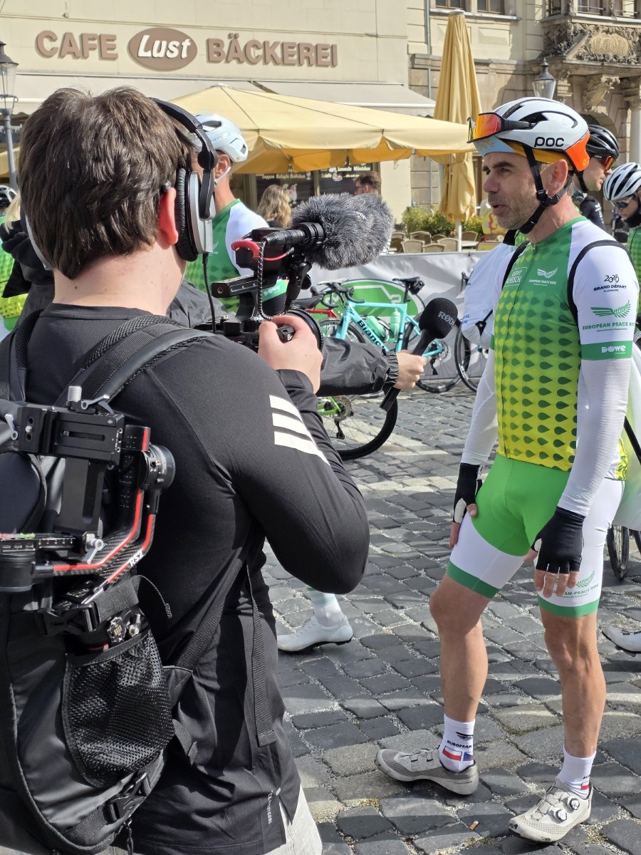
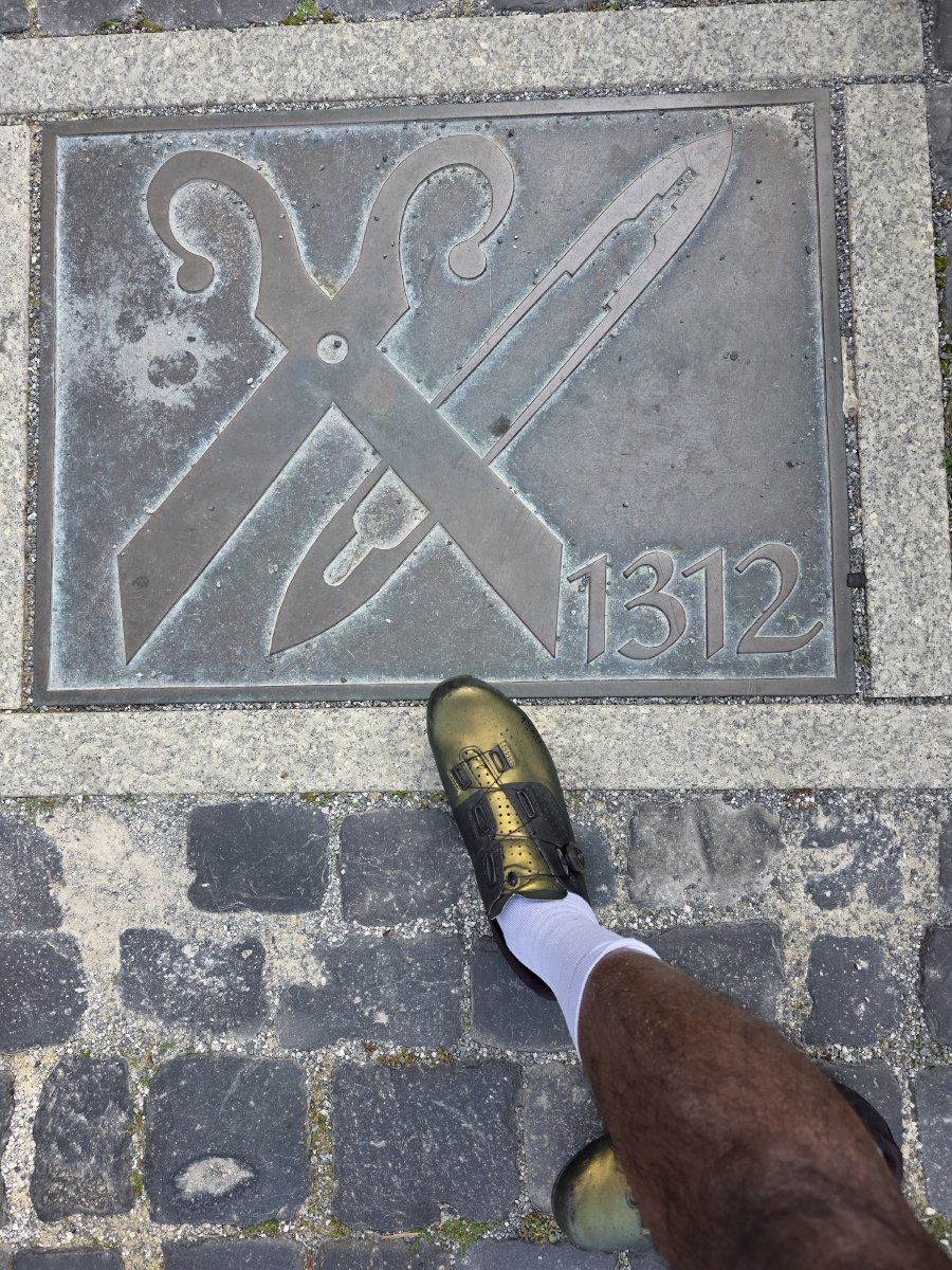
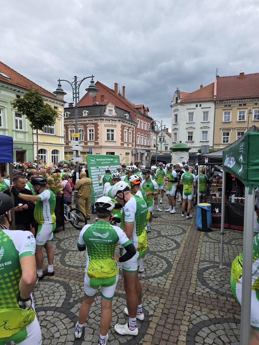
Day one started in Zittau, in the south-eastern corner of Saxony where Germany, Poland and Czechia meet within a few kilometres of each other. We gathered on the cobbles in front of the town hall from mid-morning. Camera crews worked the crowd, people found their bikes, and somebody pointed out the plaque set into the cobbles by the market: a pair of tailor’s shears and the year 1312. Zittau has been doing business on that square for a very long time.
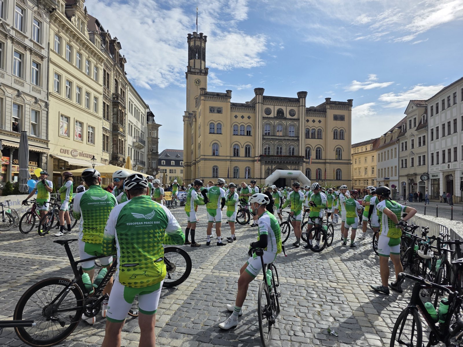
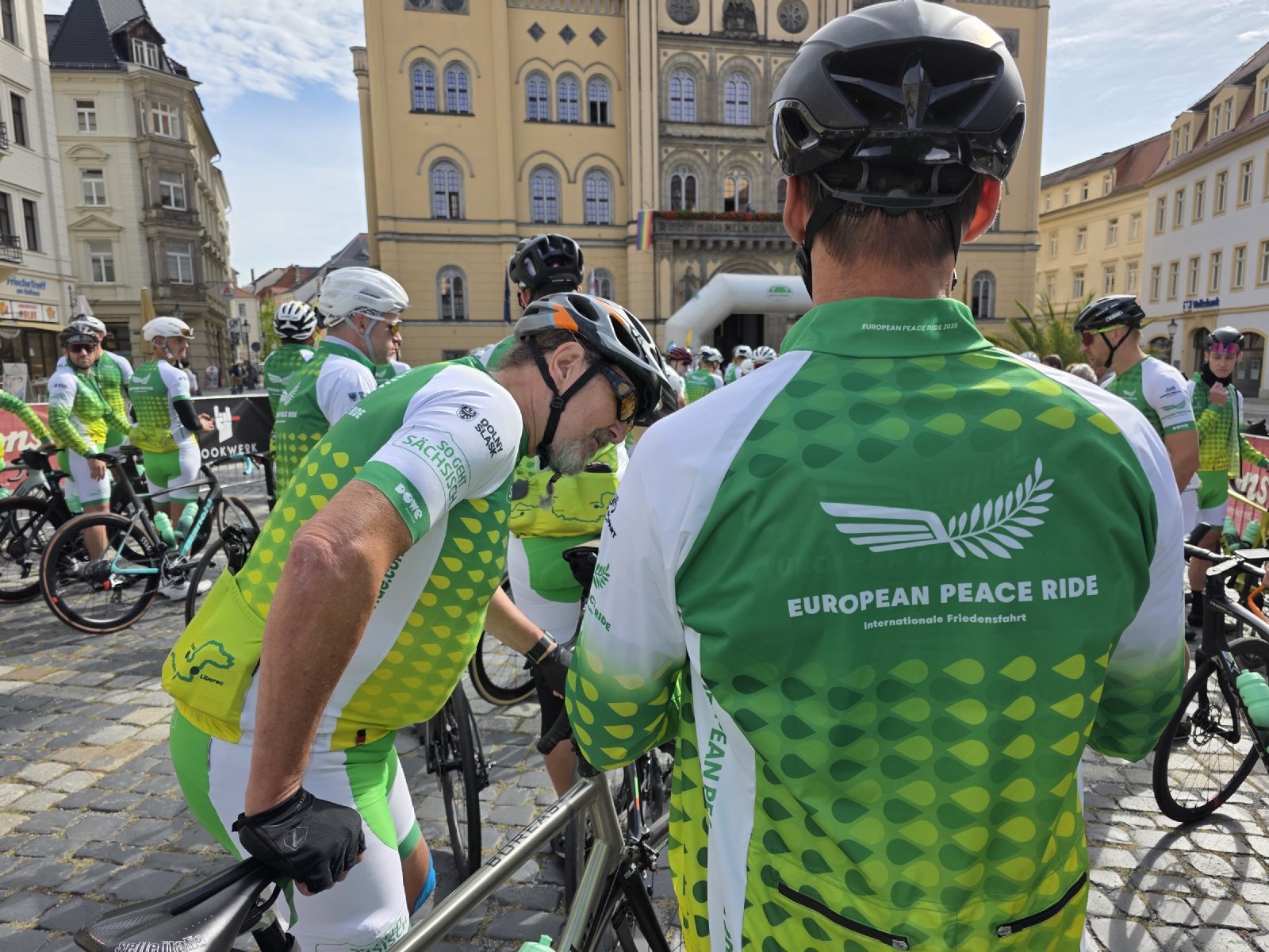
We rolled out just after eleven.
Germany, then Poland
The first 35 km were easy, a warm-up north along the Neisse valley at around 25 km/h with the road closed ahead of us. At Radomierzyce the ride stopped for about a quarter of an hour, not for food but for paperwork: the German police escort handed us over to the Polish one. One country’s riders pass you to the next, and then you carry on. That handover happened three times over the weekend and it never stopped being the strangest part of the day.
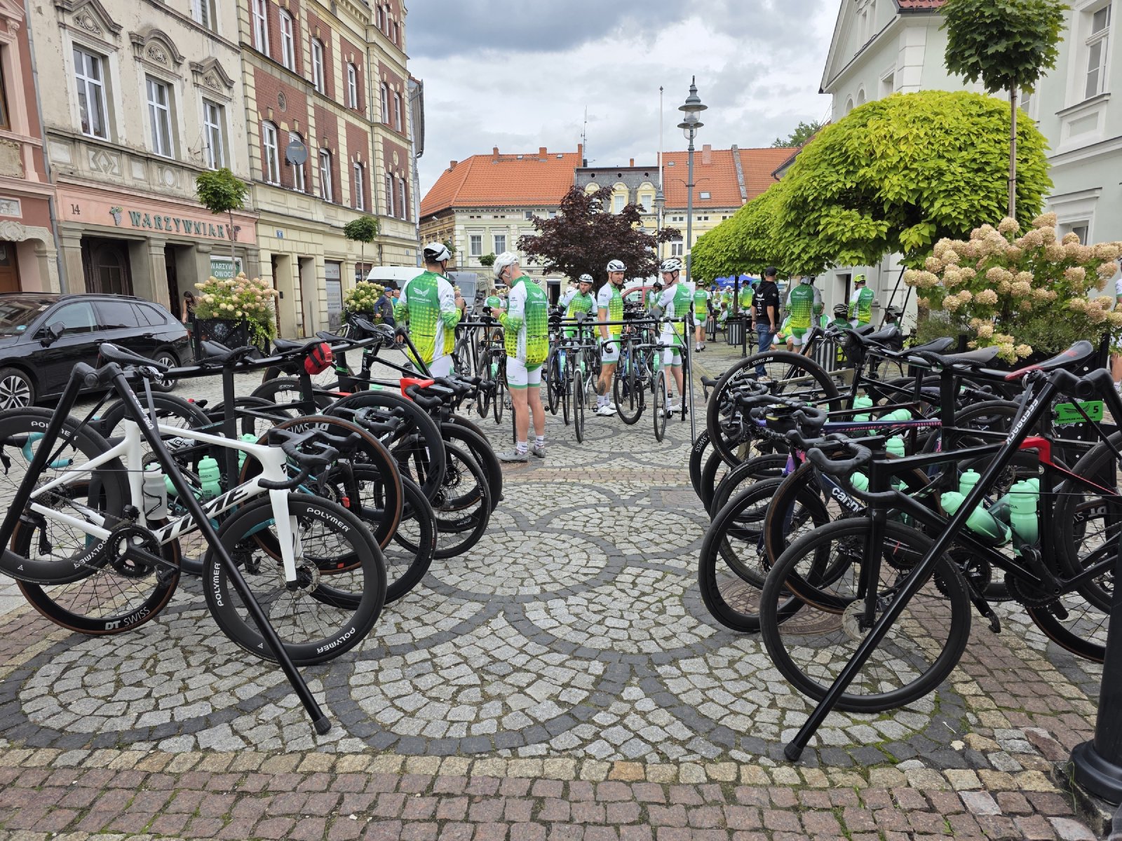
Poland was the long middle of the stage. A gentle drag up through Bogatynia and Działoszyn, then a steadier 11 km climb past Platerówka, and into Leśna for lunch on the market square. We were there the best part of an hour. Bikes stacked against every wall, a black estate car in the middle of it with “13” and the Peace Ride olive branch on the rear glass, people sitting on the kerb eating.
The incident
Most of the day went smoothly. Then, somewhere in the middle of it, there was a crash in the front group. Three or four riders went down. Nothing serious as far as I know, a couple of knocks, and most of them got back on. I think one or two stopped riding for the day and went on in a car. They were fine, and back with the group that evening.
What stayed with me was not the fall. It was how fast the medical car got there. Before the rest of us had worked out what had happened, it was already alongside, doors open, riders being checked over. That car was with us for the entire route and I had barely registered it until the moment it mattered. A lot of this ride works like that. The organisation is invisible right up to the second you need it.
Into the mountains
The real climbing on day one waited until after lunch. From Leśna the road goes up for 16 km, a steady 2 per cent that never quite lets you settle, and tops out at 587 m at the Polish border above Świeradów-Zdrój. That is as high as we got all day. We stopped briefly at the top, crossed into Czechia, and dropped into the Jizera valley.
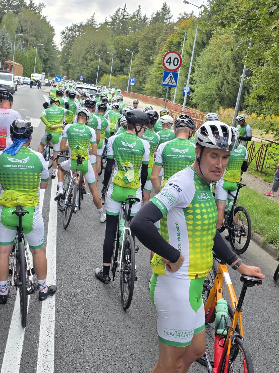
There was one more sting. After a pause at Raspenava the road climbs again, almost 150 m over 8 km through Oldřichov, before the long run down into Liberec. By then the group had been out for nearly six hours and the average speed on that last climb was under 18 km/h. Nobody minded.
Liberec
And finally Liberec, everyone in safely.
The Czechs call it Liberec, the Germans called it Reichenberg, and for a long stretch of the nineteenth century it was the textile capital of the Austro-Hungarian empire. They called it the Manchester of Bohemia. The town hall it built with that money is ridiculous in the best way, a neo-renaissance pile with three green spires, and the finish put us right underneath it.
Up on the hill above the town is the Ještěd tower, a hotel and a transmitter in one, built in the seventies and shaped like the mountain it stands on. The Czechs voted it the most important Czech building of the twentieth century. You can see it from the square.
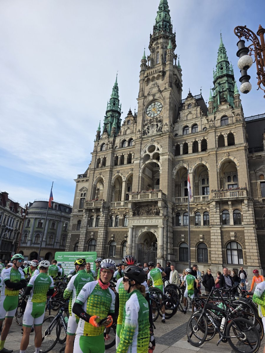
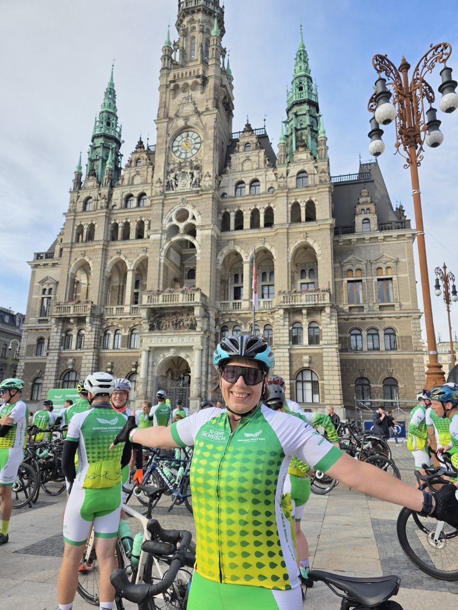
Nobody was looking at the architecture. 107 km done, three countries, everyone present. Police motorbikes parked up on the cobbles, bikes stacked everywhere, people happy.
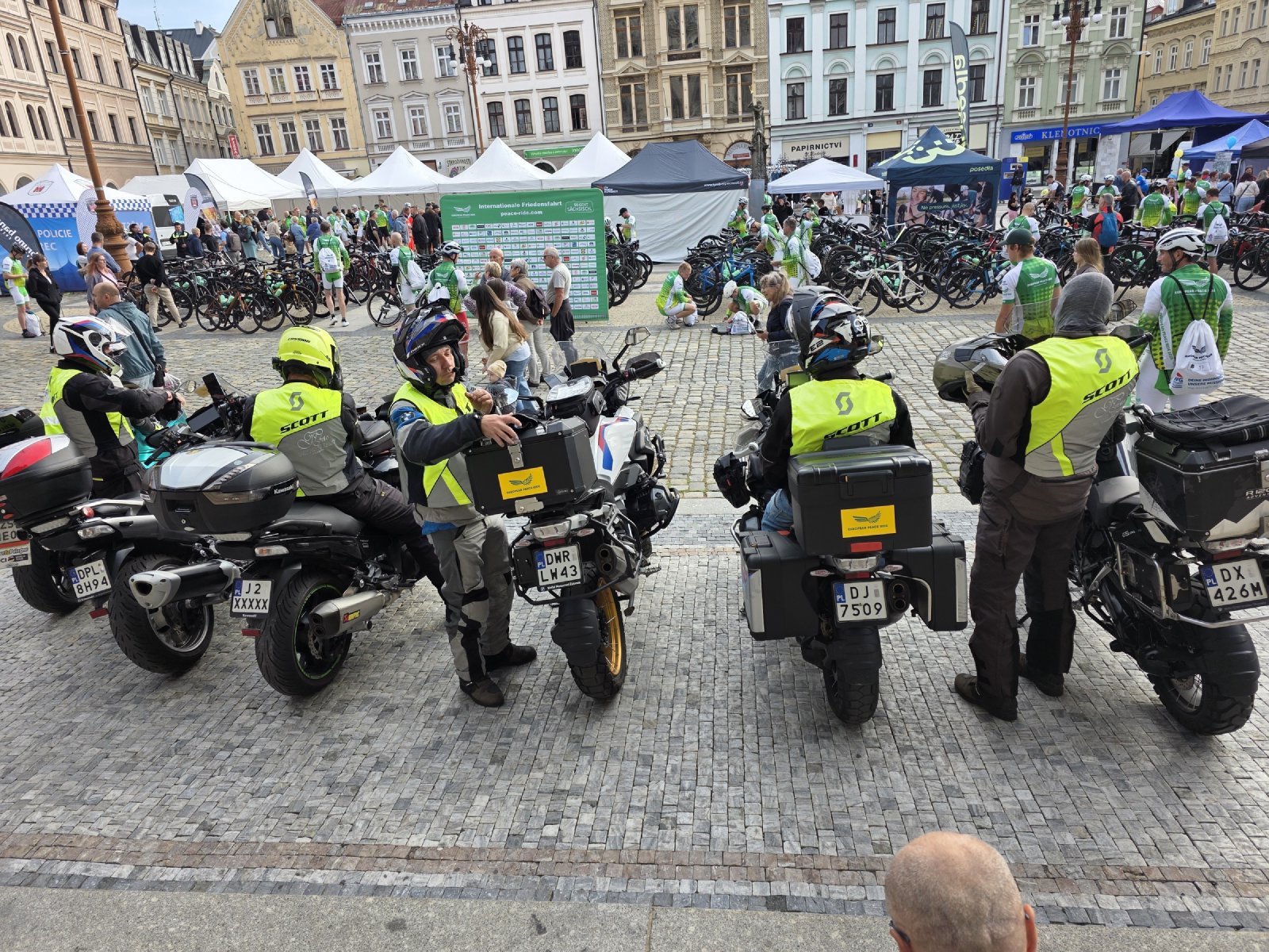
And tomorrow is the long one.
Want to ride it? The track, a GPX built for head units and the original FIT are on the route page for Stage 1.
The numbers
| Distance | 107.4 km |
| Elevation | ~1,300 m |
| Rolling time | 4h 05m |
| Elapsed | 5h 52m, 11:07 to 16:59 |
| Average speed | 26.3 km/h |
| High point | 587 m, Polish/Czech border above Świeradów-Zdrój |
| Low point | 238 m |
| Average heart rate | 142 bpm |
| Countries | 3 |